Project done
These are the links of previous projects, posters and manuals are found in the link below-
https://bluepillarcompany.com/
http://reachinglost.org/
http://goodcaretech.com
http://www.kg-limo.com/
http://www.fao.org/land-water/database
http://www.fao.org/land-water/databases-and-software/faonile/en/
Spatial /Geostatistical Analysis
We do spatial/Geostatistical Analysis for various scenarios like expanding business,impact/incident,transport networking, utilities etc, love to hear your spatial analysis needs
Produced incident analysis from vector and raster data by applying spatial analysis extensions
Used spatial analyst for business expansion in consideration with demography, income level, location and computations gis it/database administration Arcgis IT/Database Administration.
GIS /WEB Application Services
Create GIS web Rest services based on OGC/ISO standards which can be viewed from any mobile platforms
Developed an interactive map and published it on web GIS using GIS tools. We do web GIS application development for any kind of customer need
We mostly use open source software because of easy Customization and Cost effective GIS Services/Website Solutions
Transform description of a location into geographic coordinates and geocoding excel file with addresses so that it can be mapped or create shape file. From the shape file we can create web map and application
Build custom maps and field data collection apps for smart phones and tablets to improve the efficiency/accuracy of field work
Web maps and web services are a tool to share information with public. Use open source to minimize cost.
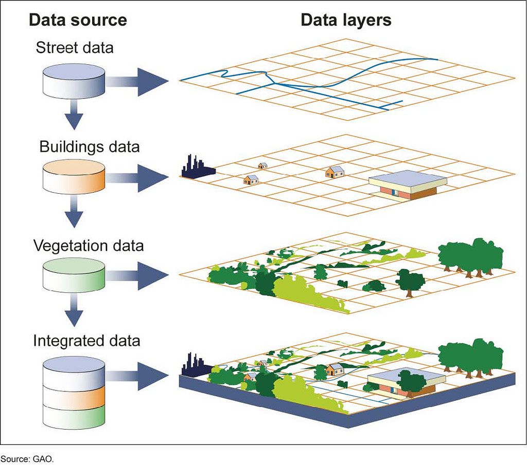
We prepare atlases based on client requests. Interactive Maps contribute to a deeper understanding of any business and improves communication for better decision making. Transform all kind of GIS data using ETL
Development From design to implementation including Project planning, design, and Create Web GIS applications, Produce Mobile solutions.
Utilize GIS analysis for having a better business services using GIS capabilities so that more effective business decisions made and apply the power of geocoding to optimize marketing
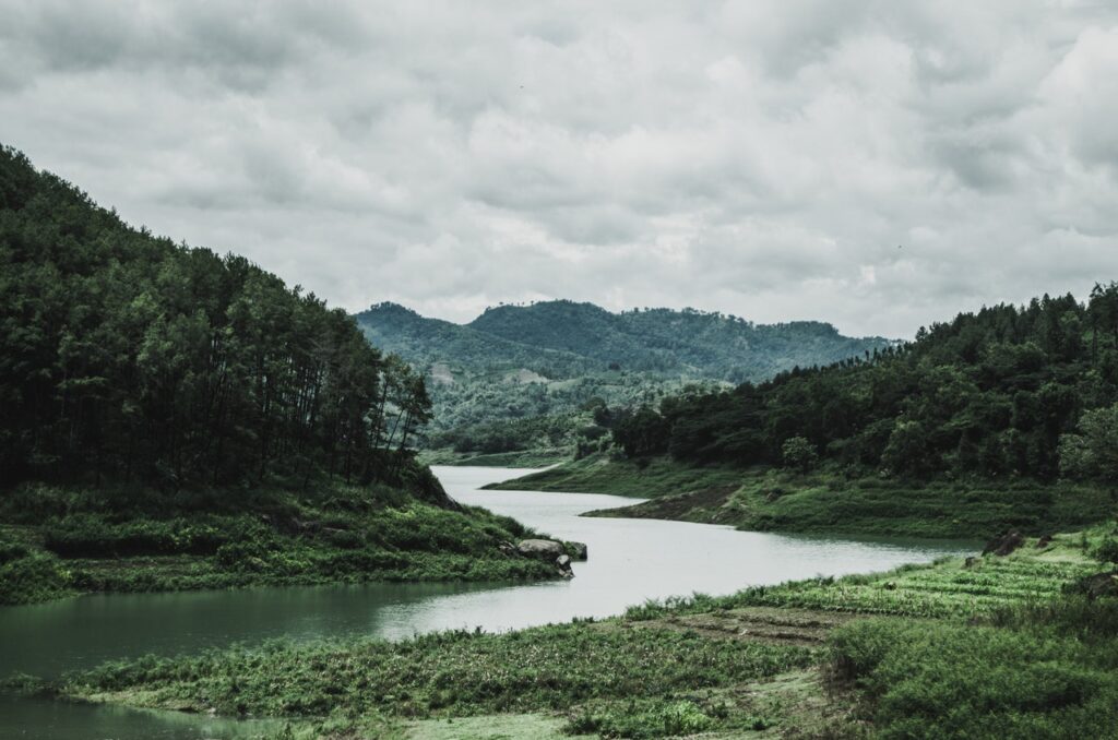
Locate natural features as mineral deposits, soil type, habitation, agriculture land, water, and storm water and perform Analysis, including data capture and integration
Spatial Analysis Mapping and spatial analysis services that add value to client data
Add third dimension to topographic mapping of an area to analyze land slope, like flood inundation
Understand distribution of customer’s and plan transportation network
- We do all kind of mapping according to our client requests.
- We do data collection using GPS and other mobile devices
- We deliver maps in digital or hard copy
- Design standardized maps, update maps or charts for visual representation of spatial data.
- We produce high quality maps
- Use appropriate cartographic symbols for mapping
- Mapping of water mains, reservoirs, pumping stations, manholes and major valves using GPS.
- Used recommended cartographic symbols.